The Mojave Desert
From Sedona to Big Bear
I crossed an empty landscape of hills, bushes and sand, and reached the
airport of Avi Suquilla on the Colorado River. After lunch I talked to a woman flying instructor of the Madam Thatcher type, who gave me very valuable advice on how to land at Big Bear and then go on at Santa Catalina.
To reach Big Bear, I had first to cross the Mojave Desert, something which was new to me so I took off and climbed high to 10,000' so if there was an emergency I could reach a radio station.
Though the gallons of water I had on board didn't help me much when climbing, I never regretted having them.
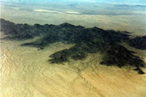
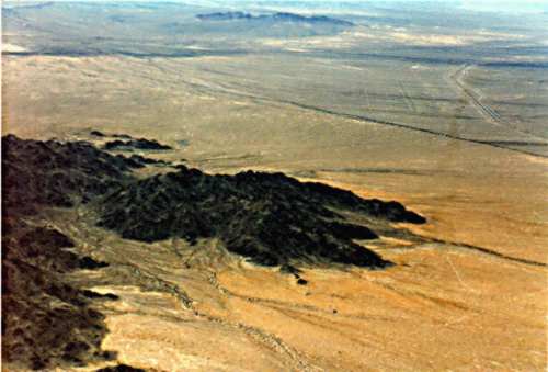
The Mojave desert
Navigation is easy through the desert; you just follow the roads or, if
you're lazy, the VOR. Remember that the VOR has an optical range, and in the flat desert
this is at maximum.
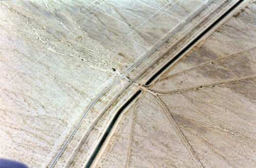
Pure straight lines in the desert
Can you see the street pattern in the upper right corner?
|