|
|
From Temple Bar to Grand Canyon
Recent legislation has forbidden pilots from flying below the Canyon rim, because so many have killed inside the Canyon, trying to climb in the hot air and down drafts. The only airplanes allowed inside the Canyon are bush planes such as the Twin Otters, that are flown by professional pilots who have been specially trained. I strictly complied with the legislation, having heard so many
horror stories both here and at home in the Alps. |
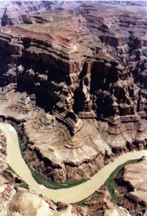
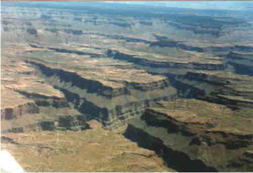
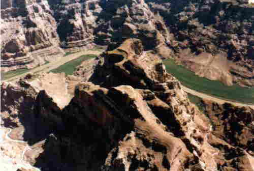
It 's difficult to give you an idea of what the Canyon looks like. A labyrinth of deep
gorges spread over a surface the size of Switzerland, colored in all the tones of the earth.
I wandered above the Canyon for an hour or so, constantly keeping a look-out for the heavy commercial traffic, then I headed for the Grand Canyon Airport, homing in on the VOR. The airport was nice; its constant traffic of bush planes gave it a busy city-like atmosphere.
 |
|
|
Go to the clickable map to see the other legs and pictures of the
trip, or use the arrows on your left if your connection is slow. Or proceed directly
to the  |
|
 |